If you're managing flood, wildfire and other risks, Geospatial Insight uses satellite, weather and drone data to help you anticipate, respond and understand catastrophes.
Our wildfire and flood monitoring comes with performance guarantees.
Risk & Exposure Leaders
Confidence in knowing which properties, assets and communities are exposed is key. We’ll show you how severe the potential impact could be, and where to prioritise modelling, mitigation and resilience measures. Before, during and after catastrophe strikes.
Response & Recovery Leaders
When floods, wildfires, and other catastrophes develop, you need to know what is affected, where to intervene, and how to reduce loss. Our data will help you protect operations, deploy resources, and accelerate recovery across affected areas.
Data & Innovation Leaders
You’ve always wanted reliable environmental intelligence that works inside existing systems and workflows – now it’s here. We help you integrate forecasts, geospatial data and live event insight to improve decisions, products, modelling and operational response.
Insurance & Reinsurance
Understand where floods and wildfires are heading, which properties are exposed and where intervention matters most. We help your catastrophe-risk, exposure and claims teams improve modelling, prioritise response and reduce avoidable losses when events occur under pressure.
Property, Logistics & Infrastructure
Protect warehouses, distribution centres and other industrial sites from flood and wildfire disruption. You’ll have access to early warnings and location intelligence to understand exposure, prioritise continuity measures and reduce avoidable losses across your estate portfolio.
Government, NGO & Emergency Services
Authorities, civil-protection teams and emergency services need earlier intelligence on developing floods and wildfires. Our data and images help you issue timely warnings, coordinate resources and support faster. The result is better-informed responses when every minute counts.

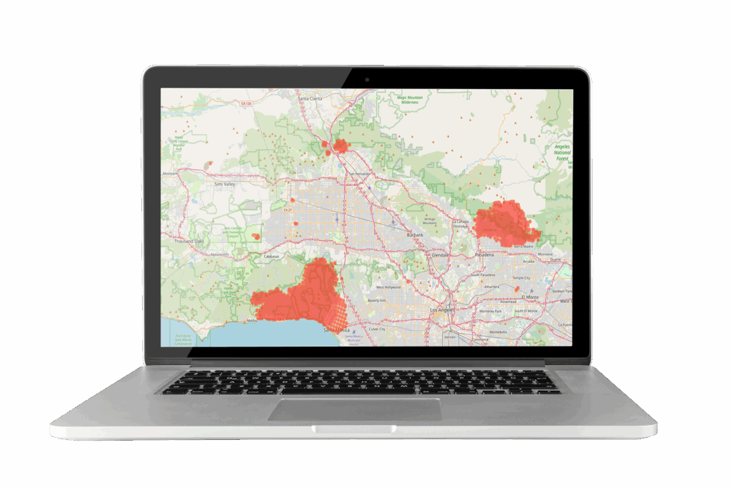
Accurate Wildfire Data. Act Before Losses Escalate
Get precise information on developing wildfires. Understand where fire is heading and know what is exposed. FireWatch helps you reduce false alarms, prioritise action, protect people and assess impact faster after an event.
And it comes with our Accuracy Guarantee.

Model Floods Faster. Make Critical Decisions Sooner
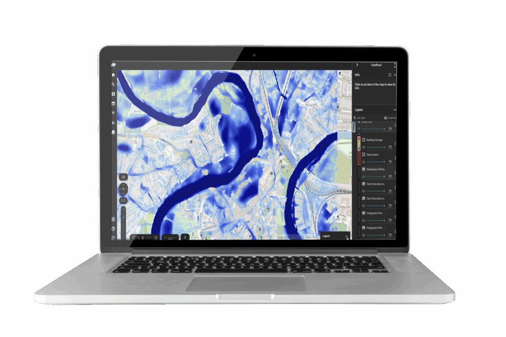
Know where flooding is likely to occur, what could be affected and when action matters most. FloodCast gives you faster answers to support warnings, protect assets, plan responses and assess potential damage before losses get out of control.
Ask about our Speed Guarantee.
Performance you can trust. Guaranteed
No complicated claims process
FloodCast comes with our Speed Guarantee. If we fail to deliver flood modelling within 60 seconds, you get one month’s free subscription.
FireWatch comes with our Accuracy Guarantee. We guarantee fewer than 2% false alarms, or you get a month free of charge.
Finalist DL100 2023

GreenTech Innovation of the Year
2026 MRI Top 20
Listed in the top 20 companies world-wide for Geospatial Imagery Analytics
Through their willingness to accommodate our requirements and their continuous provision of support and guidance, we have seen Geospatial Insight turn our far-off ideas into a reality.
Dr. Beverley Adams, PhD, CMgr, MD
Managing Director and Head of Client Engagement
Marsh Risk
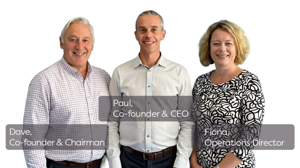
Meet Dave, Paul or Fiona online
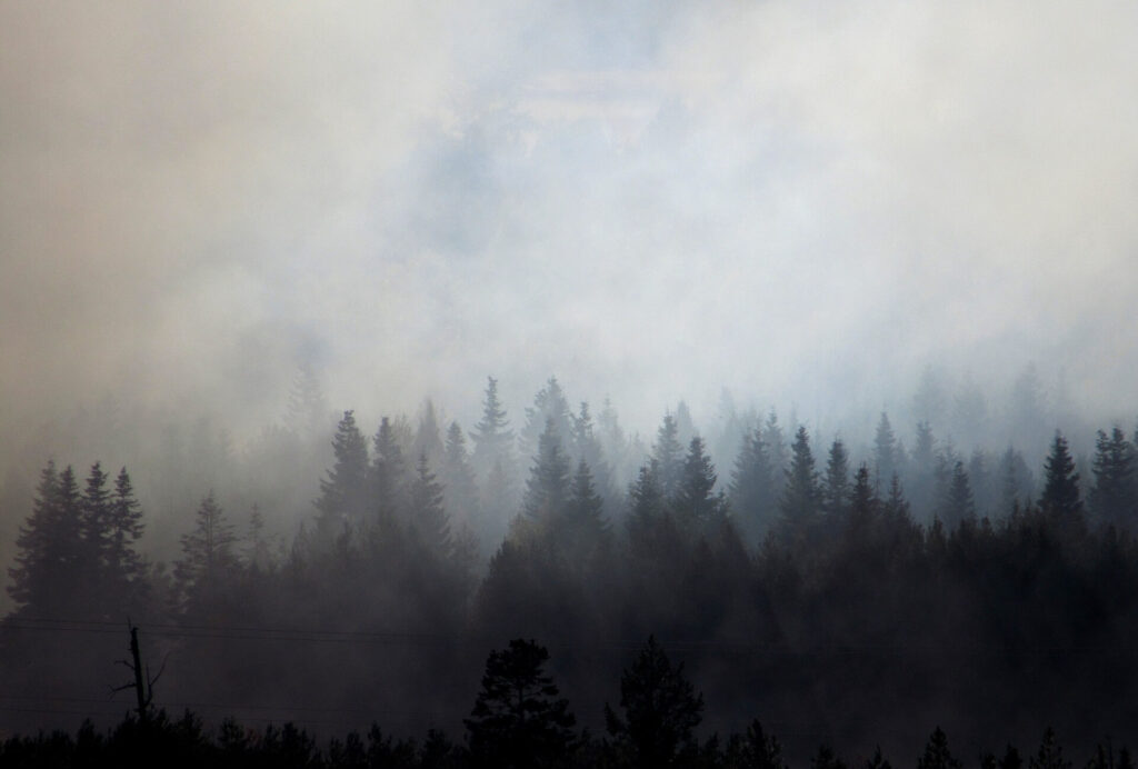
Using ERDAS Imagine to detect wildfires
Greenland is not traditionally thought of as a wildfire-prone region, however the number and size of fires across the Arctic region is known to be increasing. This includes the widely reported large tundra fires in western Greenland during the summer in 2017 and 2019. These paint the picture of a…
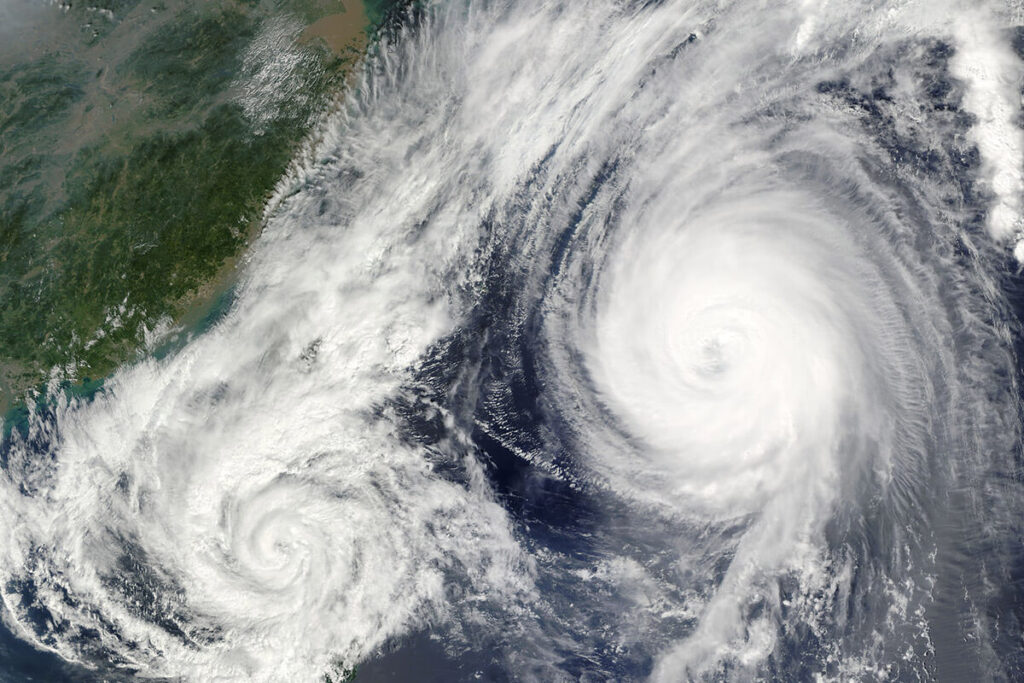
Mid-West USA floods
Following the destruction brought by the recent extensive flooding in Nebraska and Iowa in the Mid-West of the USA during March 2019, this case study illustrates the typical data, imagery and analytics products that Geospatial Insight offer as part of the CAT Response Service…
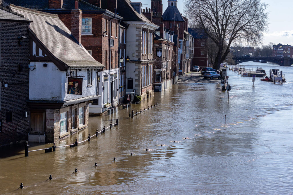
Storm Eva – UK floods
Between Storms Desmond, Eva and Frank, the month of December 2015 was Britain’s wettest in history. Additional records for peak river flow and heaviest single-day rainfall were also endured. The resultant flooding caused damages of an estimated £5 billion and subjected the weary residents of Northern England to dozens of…
Latest Blogs, Videos and Infographics
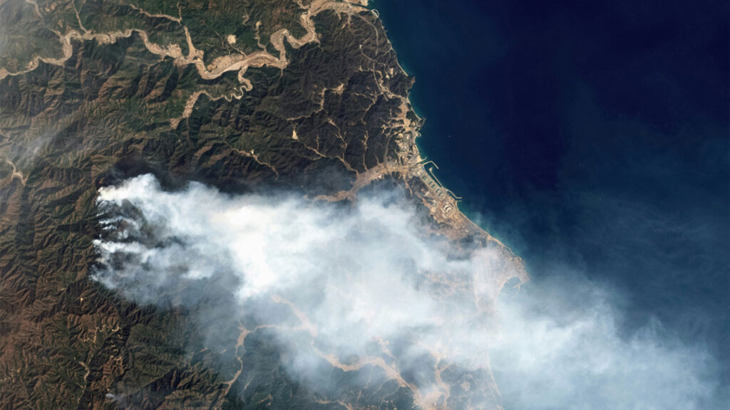
5 satellite data types to improve wildfire risk models in 2026
No single ‘best satellite’ exists for monitoring wildfire. The satellite data that helps you detect a fire quickly is not necessarily the data you would choose to map the burnt area afterwards.
Style Meets Substance: Advance Imaging in ERDAS APOLLO v2023.4
A quick tutorial video explaining how to use SAR data in Hexagon Geospatial ERDAS IMAGINE software
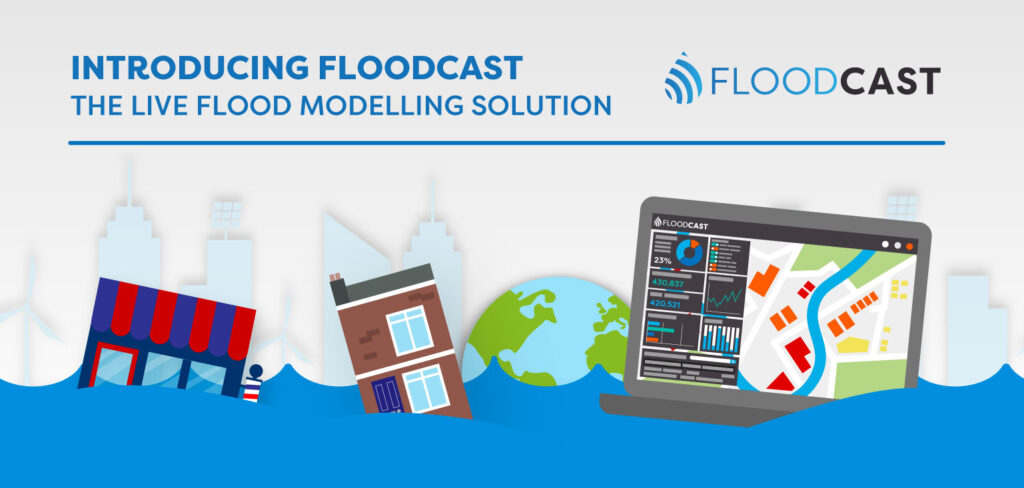
Introducing FloodCast: The Live Flood Monitoring Solution Infographic
Discover how FloodCast applies advanced flood modelling in our latest infographic, showcasing near real-time data and insights that enhance flood forecasting and risk management.