
Ask a Question

FloodCast

Icon of FloodCast logo, raindrop with satellite radar cut out.

Know where flooding is likely to occur, what could be affected and when action matters most. FloodCast gives you faster answers to support warnings, protect assets, plan responses and assess potential damage before losses get out of control.

Ask about our Speed Guarantee.

FloodCast logo, representing flood modelling and flood prediction.

Solution


Predict. Prepare. Respond.

FloodCast is an advanced, API-accessible flood simulation engine designed for high-speed, high-resolution flood modelling at all scales, delivering near real-time risk assessment, for planning support and operational response.

It enables users to rapidly simulate a range of likely flood outcomes and adjust variables as a flood evolves. Outputs include flood extent, flood depth and velocity for fluvial, pluvial, coastal and dam break events.

By including critical variables such as rainfall, defences and discharge points, FloodCast allows users to model multiple flood scenarios and evaluate potential outcomes before they occur. Integrated with satellite, aerial and drone imagery, FloodCast also delivers a comprehensive solution for live flood monitoring and damage analytics.

Ready to get in touch?
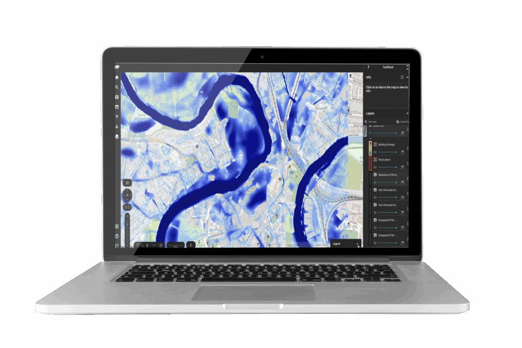
Laptop screen mock-up showing FloodCast flood modelling and flood prediction dashboard.

Benefits

An icon of a house in waves representing live flood monitoring

Live Flood Monitoring

Improve operational intelligence by tracking events as they unfold

Warning sign icon representing near real-time alerts.

Near-Real Time Alerts

Automate warnings to trigger mitigation action and reduce flood impact costs

A icon of a city inside a magnifying glass to represent impact analysis.

Impact
Analysis

Accurate, timely flood intelligence to support per property damage assessment

Icon of a house floating on waves with a shield inside to represent scenario modelling.

Scenario Modelling

Generate multiple flood scenarios to inform improved decision making

Download

Download the FloodCast technical sheet

DOWNLOAD
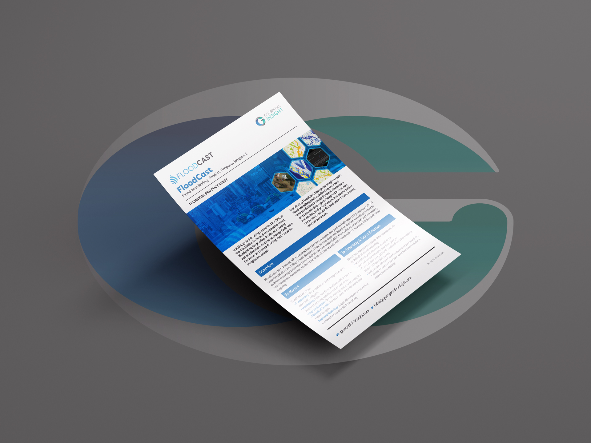
Mock-up of a FloodCast technical product sheet from Geospatial Insight, displayed on a grey background. The sheet highlights flood monitoring and flood modelling capabilities with the tagline ‘Predict. Prepare. Respond.’ It features blue and white branding, hexagonal map and flood imagery, and sections titled ‘Overview’ and ‘Technology & Data Sources.

Features

Icon of a cog with data points coming from it to represent efficient resource allocation

Super-Fast Modelling

Rapid predictive modelling 1500x faster than traditional models

Icon of a computer screen with analytical data to present real time monitoring.

Automated Flood Analytics

Rapid depth, velocity and extent predictions for accurate damage assessment

Icon of editable inputs to represent criteria and results.

Flexible, Editable Inputs

Modelling of multiple flood scenarios per event to deliver comprehensive risk assessment

Icon of a piece of paper in a folder to represent files and data collection.

Multiple Delivery Methods

API or dashboard access for seamless integration with existing systems

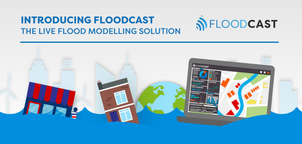
Introducing FloodCast: The Live Flood Monitoring Solution Infographic

READ MORE

Request a demo

Fill The Form Out Below And One Of Our Sales People Will Be In Touch Shortly

Interested In Buying Our Products?

Fill The Form Out Below And One Of Our Sales People Will Be In Touch Shortly